Insurance industry could benefit from new geospatial application developed by TomTom for Oracle
TomTom, the satellite navigation (Sat Nav) device maker, has announced the integration of its mapping technology into Oracle’s business applications. Called TomTom Geospatial for Oracle, the solution will enable users of Oracle Database 11g to integrate TomTom map and routing data into business applications and IT infrastructure that run on Oracle Database 11g.
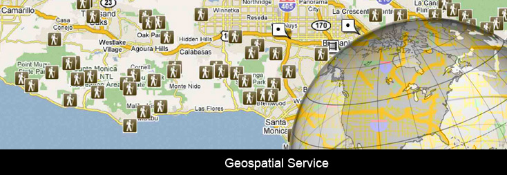
“We integrate with MapViewer to make the picture. In the same way you can see Google Maps at home, we are enabling the same for enterprise users,” George de Boer, senior manager of business development at TomTom said at the Oracle Openworld conference.
Benefits of the new technology for Insurance Companies
In this way insurance companies could visualise geographical areas and contrast density of claims against an area known to be affected by flood or fire. Other examples included hospitals visualising densities of cancer patients, banks visualising ATM usage and need, and police agencies visualising crime densities.
Logistics companies could also visualise customer and asset locations and then optimising the most energy- or speed-efficient route.
“Just like you are used to seeing Google Maps at home, we are enabling the same experience for users in enterprise applications,” he said.
Only the freshest user data will do
Commenting more broadly on the geospatial data market, de Boer said the “freshness” of a given provider’s data was everything. As such, TomTom now heavily relied upon anonymous data from existing TomTom users to provide minute-accurate information.
“We have turned to community input,” De Boer said. “You as a user can tell us that a road is closed or that a turn isn’t right. All that information flows back to TomTom and that is part of why we acquired mapping company Tele Atlas.
“The ability of TomTom to collect in a very fast manner — that allows for the freshest and most up to date map.”
Previously TomTom relied on government data, which could be as much as a year out of date, then its own fleet of mobile mapping vans similar to Google’s StreetView vehicles. According to de Boer, TomTom now has a potential pool of some 60 million devices globally to draw mapping data from.
Public Interaction in updating maps
Using purely GPS data collected from TomTom device users de Boer was able to display detailed maps of the US and Europe. Using GPS data of hundreds of users de Boer also illustrated how the existence of roads could be proved even though government supplied street maps suggested otherwise.
De Boer said the extent of mapping data at TomTom’s disposal was vast, equating to four billion measurements per day, while its entire database existed of four trillion measurements.
In addition to user input, de Boer said TomTom also made use of high-end algorithms which enabled TomTom to decide, based on information such as multiple users in the same area remaining static for a period of time, that a car accident or similar delay had taken place nearby.
“We have acquired some smart guys from the German NASA and these guys are great for making algorithms for checking and cross referencing from all kinds of data and looking at the historic data — what happens at 9.15 at that road at that specific time,” he said.
“We cross-reference it police and ambulance services but we are mostly faster than the government in deciding it is an accident.”
[Story with acknowledgement to Tim Lohman (Computerworld)]
Also view:
GPS Navigation and Road Safety


